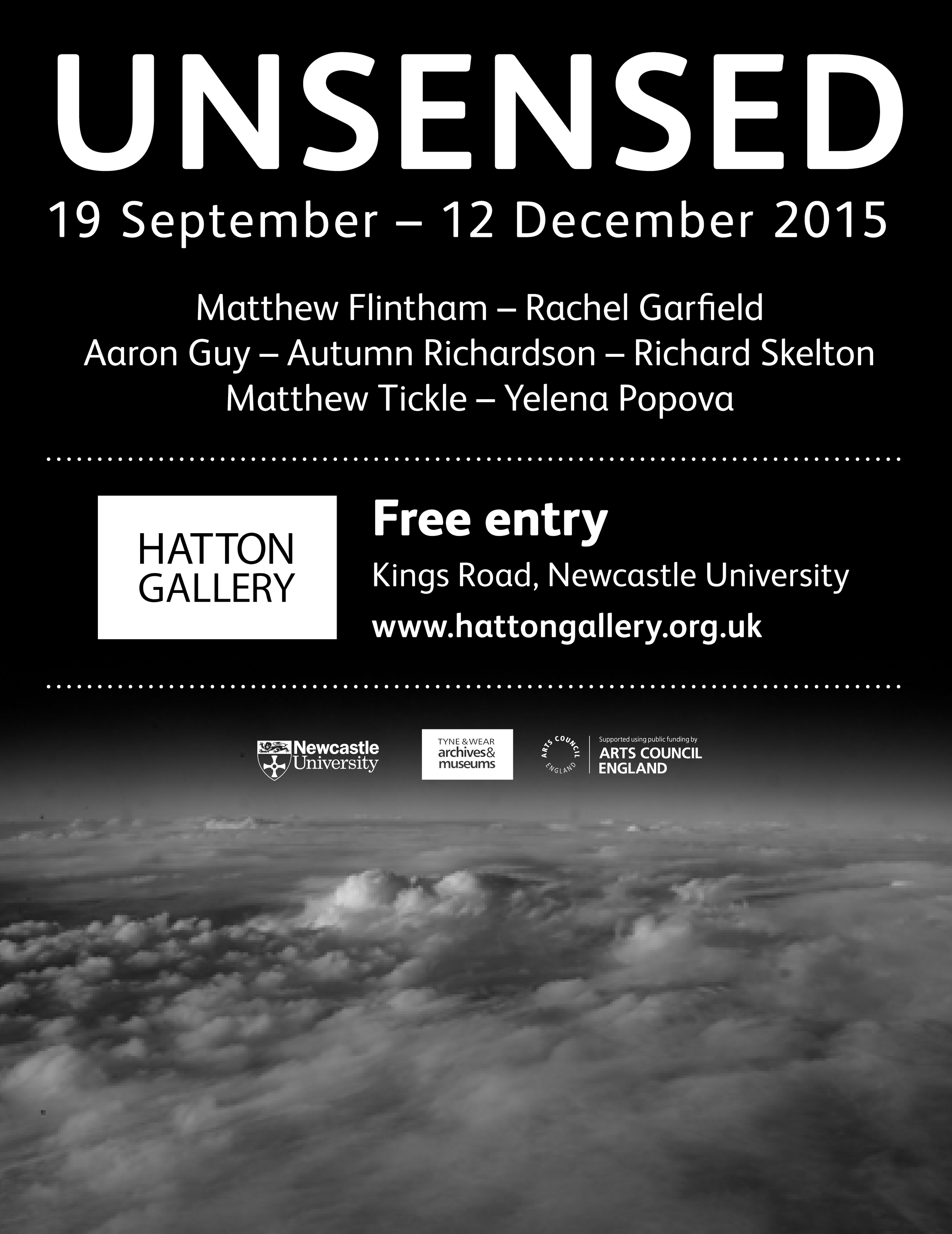
Air Matters

Here’s a couple of pics of my ‘map table’ at the Air Matters exhibition at the Watermans Art Centre, Brentford, which ran between October 2019 and Jan 2020. The exhibition gathered a number of artists making work in response to the politics of air travel and specifically, the Heathrow airport redevelopment. My piece, ‘Heathrow, Airspace Volumetric Structures’, describes the entire controlled airspace of the London area. Below, you can see it next to Nick Ferguson’s excellent 777 wheel bay reconstruction, entitled ‘Capsule’.

thumbnail_image0.jpg
thumbnail_image1.jpg

Landscapes of the National Trust

There's a section about my work on military geographies in this weighty tome from the National Trust. The book is a spin-off from the AHRC's Landscape and Environment initiative which I was part of with the Future of Landscape and Moving Image project at the Royal College of Art. Thanks to Stephen Daniels, Ben Cowell and Lucy Veale for including me in their text.

Prefix Photo

This just dropped through the letterbox. Really excited to be part of the latest edition of Prefix Photo magazine. Also honoured to share the pages with some amazing artists: KC Adams, Dana Claxton, Christos Dikeakos, Terrance Houle, Mary Kavanagh, Michael D. McCormack, Richard Mosse, Charles Stankievech and Jane & Louise Wilson. 
Jayne Wilkinson and Prefix have put together a fine issue under the thematic banner of ‘Occupying Forces’. My photos here are of a Cold War site in Lincolnshire in the UK which was part of the vast ACE HIGH tropospheric communication network.

Review in Forty Five journal

I've written a short review of Charles Stankievech's new body of work 'Monument as Ruin' in the new arts research journal 'Forty-Five' coming out of Chicago and edited by Jonathan D Soloman and David L Hays. Looking forward to reading some of the other intriguing and beguiling articles therein..............


http://forty-five.com/papers/34/

The Martial Heavens

The Martial Heavens

 An exhibition by Matthew Flintham

Leverhulme Art-in-Residence, School of Geography Politics and Sociology

Newcastle University

Ex-Libris Gallery, Newcastle University, Fine Art BuildingThe Quadrangle, Kings WalkNewcastle upon TyneNE1 7RU

PREVIEW: 5pm-7pm, Thursday 8th January 2015

OPENING TIMES: 9am-5pm, Monday-Friday 9th - 30th January

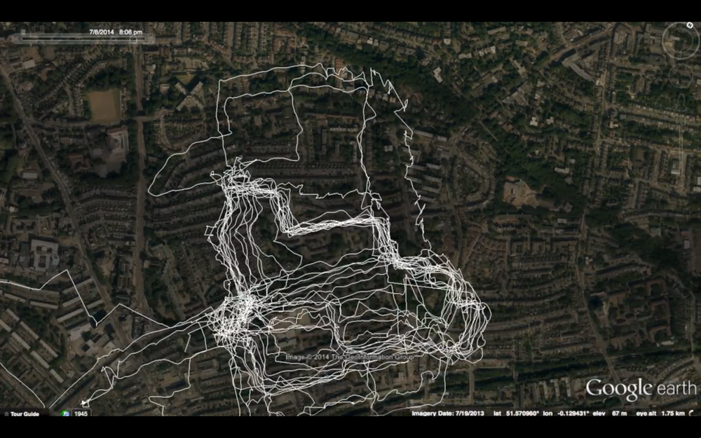
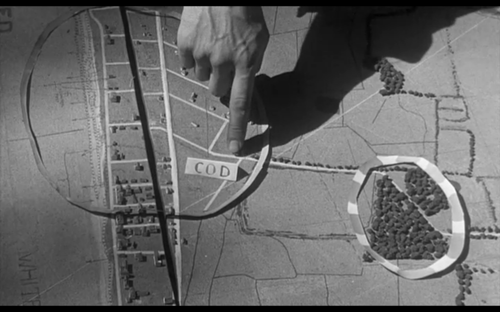
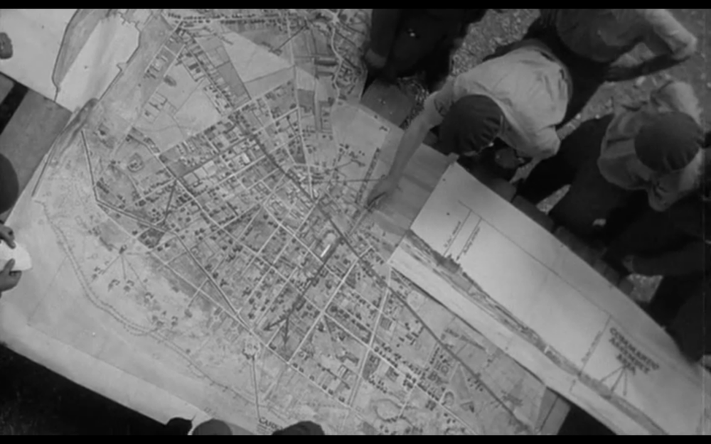
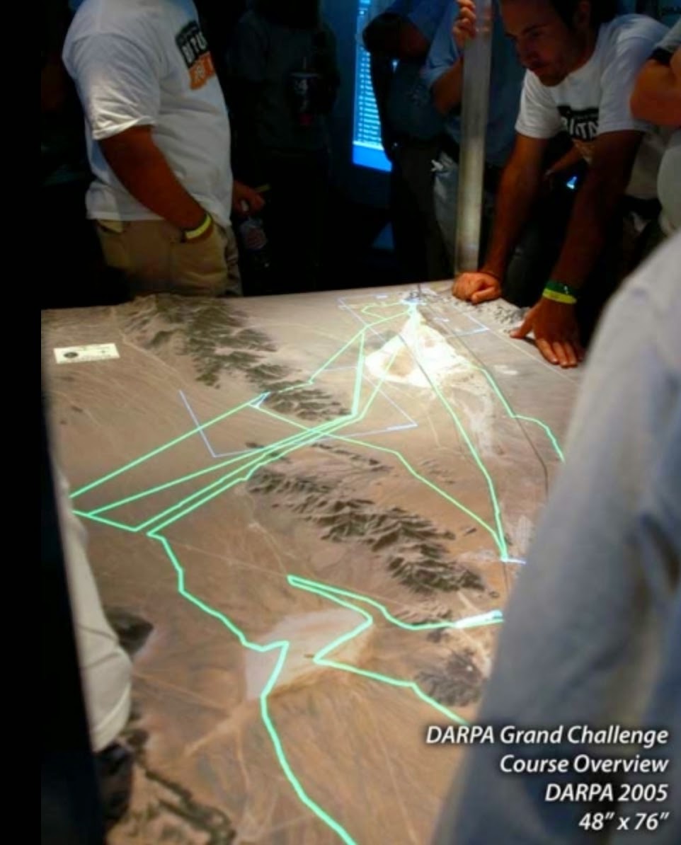
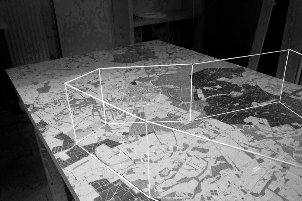
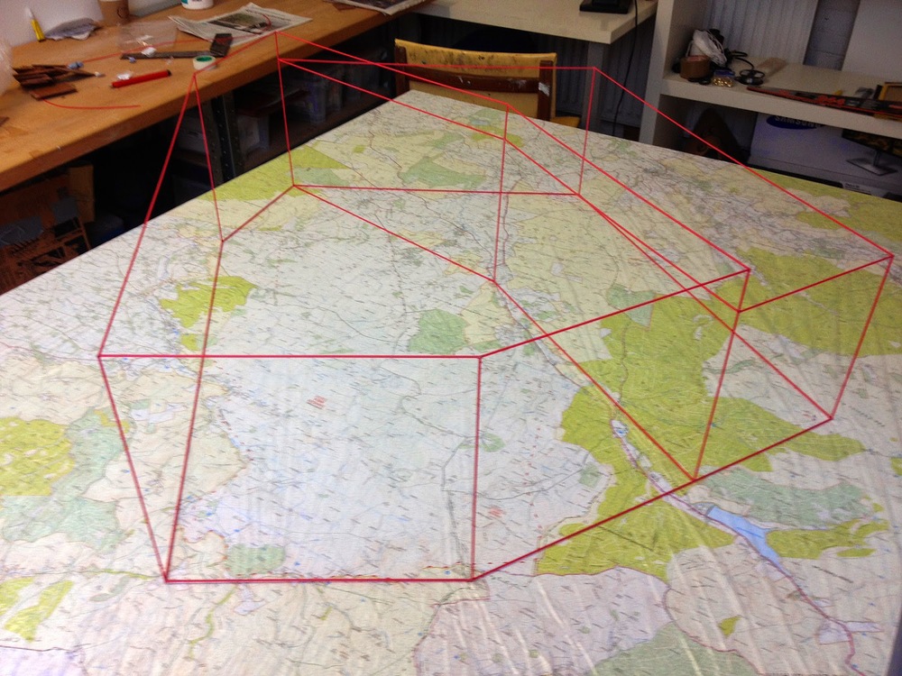
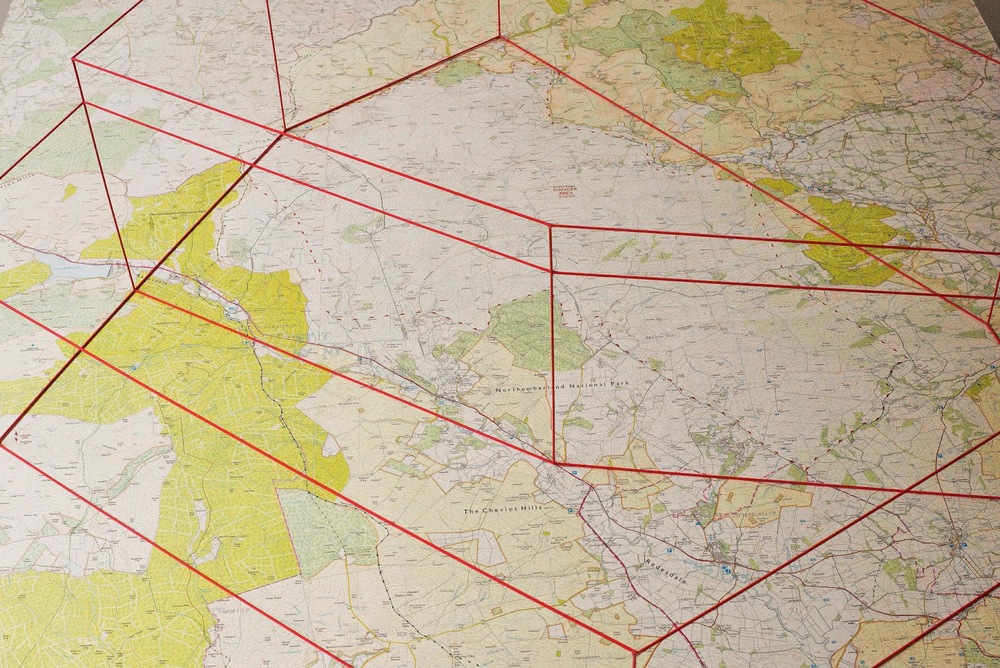
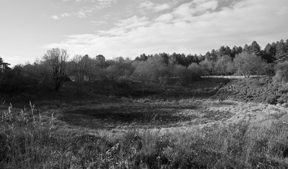
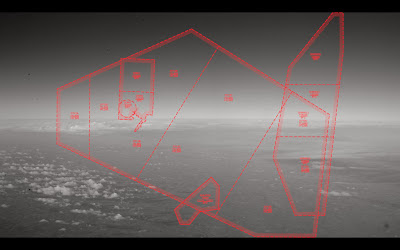
During 2014, Matthew Flintham was the Leverhulme Art-in-Residence in the School of Geography Politics and Sociology at Newcastle University. Working with airspace specialist Dr Alison Williams and a group of critical military geographers towards a visual analysis of militarism in the British Landscape, Flintham’s work focuses on revealing the hidden, virtual geometries of military airspaces all around us. Spending the last twelve months cataloguing and identifying these spaces using a combination of maps, geographic information system (GIS) software and air traffic service information, Flintham has converted the most basic geographic flight data into a collection of visual and sculptural artworks.

The artworks are brought together in the Martial Heavens, an exhibition showcasing artistic and academic collaborative research, and revealing the proliferation and hidden spatial dynamics of militarisation and defence.

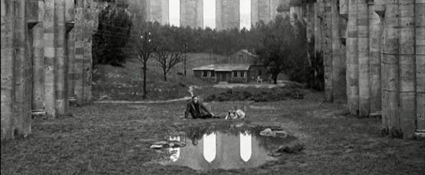
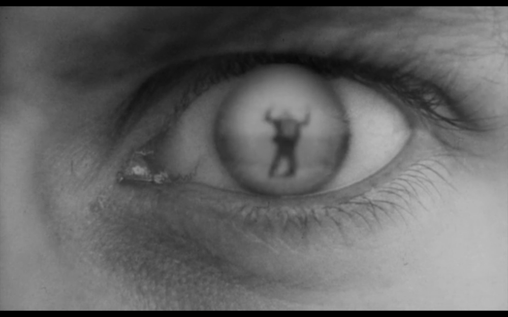
Matthew Flintham is an artist and writer specialising in the geographies of cinematic representation, militarisation, security and surveillance. He has a BA (Hons) in Fine Art from Central Saint Martins, an MA in Humanities and Cultural Studies from the London Consortium, and a PhD in Visual Communications from the Royal College of Art. His work intersects academic and arts practices, exploring speculative relationships between architecture, power and place, and the possibilities for arts methods to reveal hidden or immaterial relations in the landscape.


Architecture of Mundane Routines

Here’s me playing around with GPS and cell tower data collected on my phone. I spent twenty days working from home and locally in Archway, North London, then imported my location data from my phone into Google Earth. In the film, each day is presented as a different contour elevation. I’ve either frozen 20 days of local flâneury or accelerated 20 days of nursery drop-offs, shopping and mooching into 2 minutes. Or neither. You decide.

Considering that our phone apps are leaking geodata most of the time, I just wanted to see what an accrued body of this stuff might look like.

Link to Vimeo to see the film:

Overlord (Stuart Cooper,1975)


Here are a few screen shots from Overlord, a feature film from 1975, made by Kubrick's some-time Director of Photography, Stuart Cooper. The film fuses some pretty staggering archive aerial footage footage of the D-Day landings with some hypnotic, dreamlike acting scenes of a small group of infantry soldiers going through basic training and then heading off to the Normandy beaches with the allied invasion force.  

The images here show the kind of home-spun models used by the commanding officers to illustrate the battlefront and points of attack, and illustrate that when trying to convey geographical information, nothing quite beats a flat surface with a map on it and some added local knowledge.


Today, its seems like 3D printing is taking off in a big way in this this sector with the US military commissioning companies like Solid Terrain Modelling to recreating complex topographies, shorelines, borders, points of attack, etc all in miniature.


 The extension of maps into three dimensions is not a new concept but it illustrates a kind of leaching of real-world geographies (ie, the third dimension...) into its own pictorial/graphic representation. My current work (in collaboration with Newcastle University) looks at how we might represent invisible airspaces and danger areas in the landscape, but alternatively it might also be possible to possible to represent weather systems, electromagnetic signal distributions, hidden infrastructure and even statistical information as extensions of local geographies.

There is also the question of art. I'm supposed to be making 'artworks' for Newcastle and find it easy to get side-tracked by the purely descriptive. However, I think it is easy to envisage or represent purely imaginative geographies with assemblages of forms that allude to theoretical or abstract concepts - spaces of possibilities.


Air/Assemblage *2

More work in progress. This one is the first test model of STANTA battleground airspace in East Anglia, held together by blu-tack and will power. I visited the area recently... not much activity though.


Emerging Landscape: Beyond production and representation

I've got a chapter in this new glossy colour book - it's called The Military Spatial Complex and looks at how the continuous preparation for war has created an immense, interconnected system of spaces and infrastructures that extends way beyond the use of land for training. The chapter described a defence estate that acts like a mechanism to regulate the logistical flows of people, vehicles, and weapon systems around the UK and beyond. A huge thanks to Davide Deriu, Krystallia Kamvasinou and Eugenie Shinkle for bringing the book to completion.

Devil's Punchbowl

We spotted a hole in the bad weather and spent the weekend driving round the Brecklands in Suffolk searching for images for the Newcastle airspace art project. We skirted round the huge military training area to the north of Thetford, known as STANTA, aware that above our heads was an even bigger danger area extending up to 7500ft.  Finding no material evidence of this (why would there be?), we were quickly diverted to the Devil’s Punchbowl on the southern edge of the firing range.


Almost certainly caused by subsidence in the limestone bedrock this weird geological anomaly looks like a huge impact crater with dramatic concentric rings of vegetation emanating from the centre. In fact, my navigator for the day has a text by a 19th century antiquarian claiming that it was caused by a meteorite which was seen in the skies by many locals at the time. I’m happy to go along with this apocryphal tale if only because it reminds us that extraterrestrial stuff falls through our seemingly regulated skies every day.

Aero film screenshot

Here's a screen shot of the film mentioned in the previous post. It is still in postproduction (importing over 70 still images takes time...).